

Monday August 19

Entry posted by NorthGeorgiaWX
391 views
We are now getting within distance of the main deterministic models and it is looking like a relatively cool Nationals!
Both the major models (and their ensembles) are showing a trough in the central part of the country during that time frame, and for Lincoln, that generally means cooler temperatures.

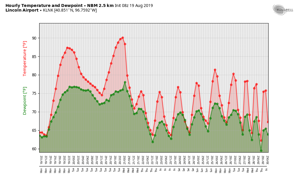
Here's a look at the GEFS high/low temps

Notice a downward trend in the temps and moisture.
It appears the GFS is trying to bring a cold front through around the 2nd-3rd and that Monday and Tuesday look at little bit wet at the moment. I wouldn't read too much into that at the moment, but it is something to watch for. The Lincoln area looks like it may be in a little bit of a NW flow during that time, which would mean that the shortwaves traveling through the flow could be the trigger for showers.
Still a ways out and the details are still unknown, but the general pattern appears to be shaping up as we thought. 🙂 Don't forget the webpage I have for the Lincoln weather, it always has the latest information from the National Weather Service. http://www.daculaweather.com/4_track_lincoln.php
From this point on, I'll have a post every morning, and once the event gets underway and depending on the weather, post may come more frequently. Beginning on the 28th, I will be turning on the automated messages that I have setup for Lincoln and those messages will be going to the Facebook page.
I hope everyone has a great Monday!
0 Comments
Recommended Comments
There are no comments to display.